

外掛說明
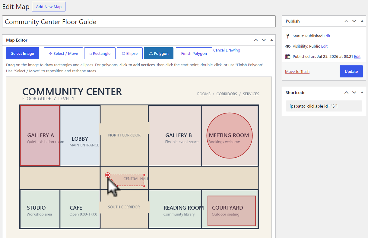
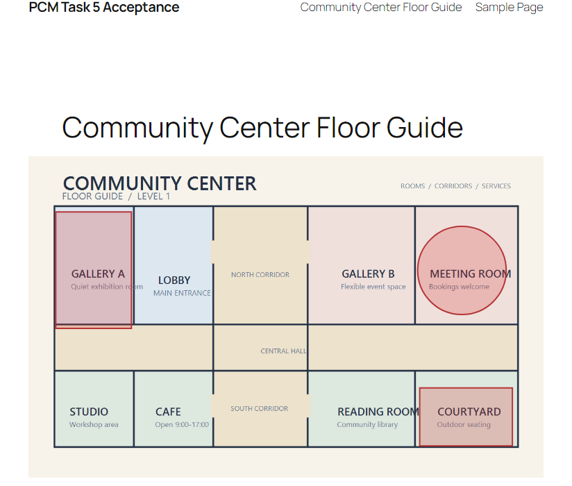
Papatto Clickable Image Map is a standalone link-based clickable map plugin for WordPress. Choose an image from the Media Library, draw rectangle, ellipse, and polygon areas, then publish the clickable map with a shortcode.
No artificial limit is imposed on the number of maps or areas.
Each area can have a label, a link, and an option to open that link in a new tab. To finish a polygon, click its starting point after placing at least three points.
The front-end image and its SVG area overlay scale together for responsive display. The plugin creates, edits, and displays standalone link-based clickable maps inside WordPress without making external license requests.
螢幕擷圖
安裝方式
- Upload the plugin files to the
/wp-content/plugins/papatto-clickable-image-mapdirectory, or install the plugin through the WordPress Plugins screen. - Activate Papatto Clickable Image Map through the Plugins screen.
- Open Clickable Maps, create a map, select an image, and draw areas.
- Publish the map and add
[papatto_clickable id="123"]to a post or page, replacing123with the map ID.
常見問題集
-
How do I finish a polygon?
-
Click the polygon’s starting point after placing at least three points to close it.
-
Does the map work on mobile devices?
-
Yes. The image and its clickable SVG overlay are rendered responsively.
使用者評論
這個外掛目前沒有任何使用者評論。
參與者及開發者

變更記錄
2.0.2
- Fix WordPress.org packaging and text-domain compliance.
2.0.1
- Added a discreet Pro link in the Plugins list and map editor.
2.0.0
- Prepared the standalone link-based editor for the WordPress Plugin Directory.
- Kept rectangle, ellipse, polygon, shortcode, and responsive SVG behavior focused on clickable image maps.